Fonte originale
The Mountains that Built China
A Western Sichuan Long March Road Trip Through Snow Peaks and Grasslands
The Western Sichuan section of the Long March (1935–1936) was the most treacherous, grueling, and tactically vital stretch of the entire 12,500-kilometer military retreat by the Chinese Red Army. Driven into the highlands of present-day Aba Tibetan and Qiang Autonomous Prefecture and Garzê Tibetan...
The Western Sichuan section of the Long March (1935–1936) was the most treacherous, grueling, and tactically vital stretch of the entire 12,500-kilometer military retreat by the Chinese Red Army. Driven into the highlands of present-day Aba Tibetan and Qiang Autonomous Prefecture and Garzê Tibetan Autonomous Prefecture to escape encirclement, the soldiers had to overcome extreme geographic barriers and severe logistical deprivation
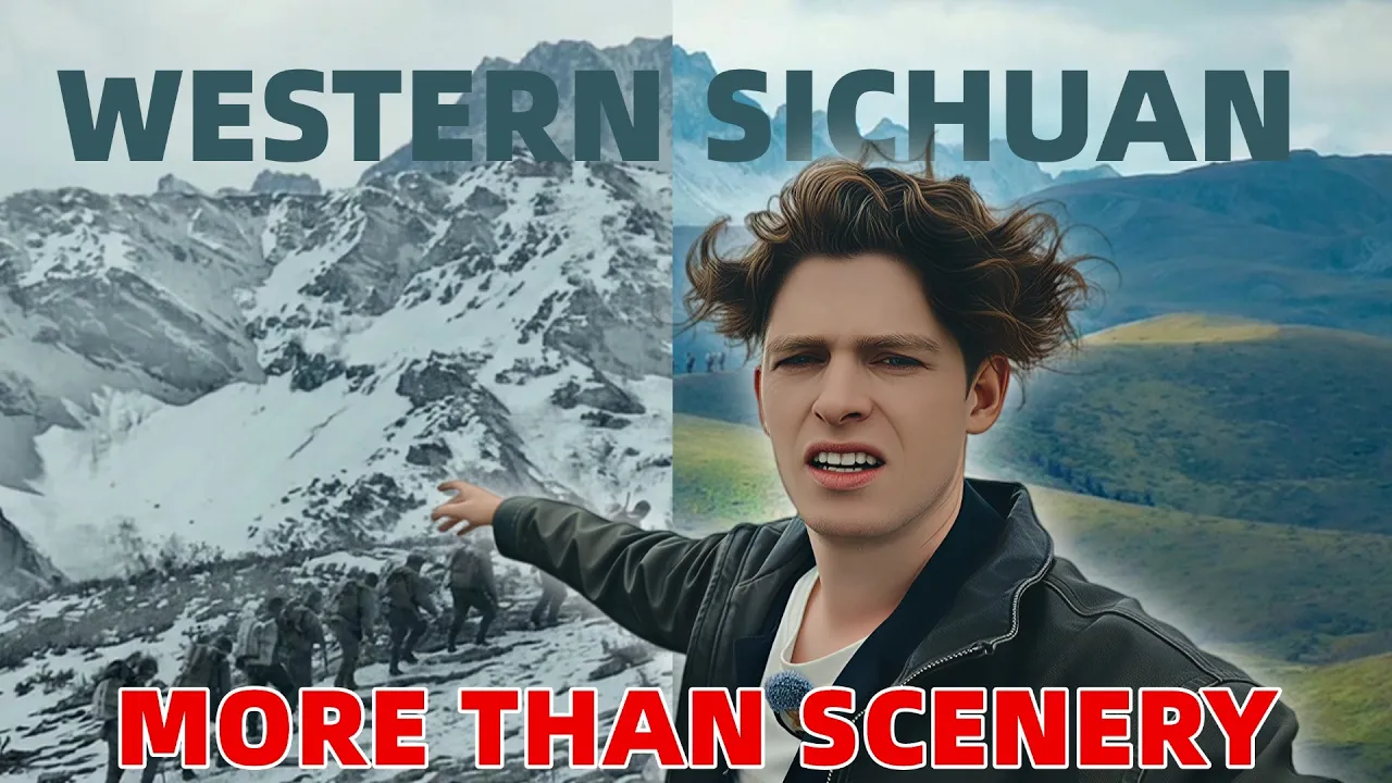
The China Adventure follows part of the Long March route through Western Sichuan, traveling from Dajing Mountain and Xinduqiao toward Mengbi Snow Mountain, Barkam, the Ruo'ergai Wetland and Songpan. The journey combines high mountain roads, a tunnel, a historic chieftain's manor, local village life and a vast peat bog. The creator describes the region as a self-drive trip where scenery, wildlife and history appear along the route, while recounting the difficult terrain faced by Red Army soldiers decades earlier.
The Western Sichuan section of the Long March (1935–1936) was the most treacherous, grueling, and tactically vital stretch of the entire 12,500-kilometer military retreat by the Chinese Red Army. Driven into the highlands of present-day Aba Tibetan and Qiang Autonomous Prefecture and Garzê Tibetan Autonomous Prefecture to escape encirclement, the soldiers had to overcome extreme geographic barriers and severe logistical deprivation
The creator introduces a journey along the Long March route in Western Sichuan. At Dajing Mountain, he describes the high ridge, changing clouds, snow and the difficulty of crossing the area on foot. The route continues toward Xinduqiao, where the creator notes winding roads and an overnight stop. The next morning, a drive of about two hours reaches Mengbi Snow Mountain; a newer tunnel passes through the mountain and takes about five minutes to cross before reaching Barkam. In a nearby settlement, the creator visits a chieftain's manor associated with horse-caravan trade and the Long March, then tries a local-style coffee. He says self-driving lets visitors choose where to stop, while cautioning that the roads wind through the area. Further north, the group stops at Gongma Temple and crosses a watershed before visiting Ruo'ergai Wetland. The creator explains that the apparently grassy wetland is a peat bog whose water depth is difficult to judge and whose weather can change quickly. The final leg passes nomadic pastures and reaches the ancient walled city of Songpan. Throughout the trip, the video pairs landscapes and local encounters with reflections on the Long March route's history.
The China Adventure follows part of the Long March route through Western Sichuan, traveling from Dajing Mountain and Xinduqiao toward Mengbi Snow Mountain, Barkam, the Ruo'ergai Wetland and Songpan. The journey combines high mountain roads, a tunnel, a historic chieftain's manor, local village life and a vast peat bog. The creator describes the region as a self-drive trip where scenery, wildlife and history appear along the route, while recounting the difficult terrain faced by Red Army soldiers decades earlier.
A Western Sichuan road trip links snow peaks, historic villages, wetlands and Long March sites on the way to Songpan.
A Western Sichuan Long March Road Trip Through Snow Peaks and Grasslands
1:19 The drive up Dajing Mountain follows hairpin turns to a ridge at 4,114 meters. The creator notes that walking at the summit feels difficult, so plan this stop with the high elevation in mind.
3:06 The creator describes the roads around Xinduqiao as very winding and says the group spent the night there before heading north early the next morning. Leave time for the mountain route.
3:29 The drive from Xinduqiao to Mengbi Snow Mountain takes about two hours in the video. A newer tunnel cuts through the mountain, and the creator says the tunnel crossing takes about five minutes.
4:03 Barkam and the nearby settlement make a roadside stop for village lanes, a chieftain's manor and river scenery. The video presents these as a way to combine a break with local history.
6:20 The creator recommends self-driving around this region because it lets travelers choose where to go, stop and eat. He also cautions that the roads are winding, so allow attention for the drive.
7:52 At Ruo'ergai Wetland, the grass-like surface can conceal a peat bog, and the creator says the water depth is difficult to judge. He describes weather shifting quickly, including rain and hail.
1:19 The drive up Dajing Mountain follows hairpin turns to a ridge at 4,114 meters. The creator notes that walking at the summit feels difficult, so plan this stop with the high elevation in mind.
3:06 The creator describes the roads around Xinduqiao as very winding and says the group spent the night there before heading north early the next morning. Leave time for the mountain route.
3:29 The drive from Xinduqiao to Mengbi Snow Mountain takes about two hours in the video. A newer tunnel cuts through the mountain, and the creator says the tunnel crossing takes about five minutes.
4:03 Barkam and the nearby settlement make a roadside stop for village lanes, a chieftain's manor and river scenery. The video presents these as a way to combine a break with local history.
6:20 The creator recommends self-driving around this region because it lets travelers choose where to go, stop and eat. He also cautions that the roads are winding, so allow attention for the drive.
7:52 At Ruo'ergai Wetland, the grass-like surface can conceal a peat bog, and the creator says the water depth is difficult to judge. He describes weather shifting quickly, including rain and hail.
0:00 Long March route introduction
0:58 Dajing Mountain
2:15 Road toward Xinduqiao
3:29 Mengbi Snow Mountain
4:03 Barkam and village history
5:13 Village coffee stop
6:35 Gongma Temple
7:19 Watershed and prayer flags
7:52 Ruo'ergai Wetland
8:43 Long March across the bog
9:30 Pastures toward Songpan
10:43 Arrival in Songpan
0:00 Long March route introduction
0:58 Dajing Mountain
2:15 Road toward Xinduqiao
3:29 Mengbi Snow Mountain
4:03 Barkam and village history
5:13 Village coffee stop
6:35 Gongma Temple
7:19 Watershed and prayer flags
7:52 Ruo'ergai Wetland
8:43 Long March across the bog
9:30 Pastures toward Songpan
10:43 Arrival in Songpan
Western Sichuan road tripLong March routeSichuan mountain travelDajing MountainRuo'ergai WetlandSongpan travelWhich places does the Western Sichuan trip visit?
The route includes Dajing Mountain, Xinduqiao, Mengbi Snow Mountain, Barkam, Gongma Temple, Ruo'ergai Wetland and Songpan.
How does the creator recommend getting around the area?
He says visitors need to self-drive around the area to choose where to go, stop and eat, and notes that the roads are winding.
How long is the drive from Xinduqiao to Mengbi Snow Mountain?
The creator says the drive takes about two hours.
How long does the tunnel through Mengbi Snow Mountain take?
The creator says the tunnel takes about five minutes to cross.
What does the video say about Ruo'ergai Wetland?
It looks like grassland but is described as a peat bog; the creator says its water depth is hard to judge and the weather changes quickly.